Understand
Measurements, inventories, sources and age become legible together.
Current primary project
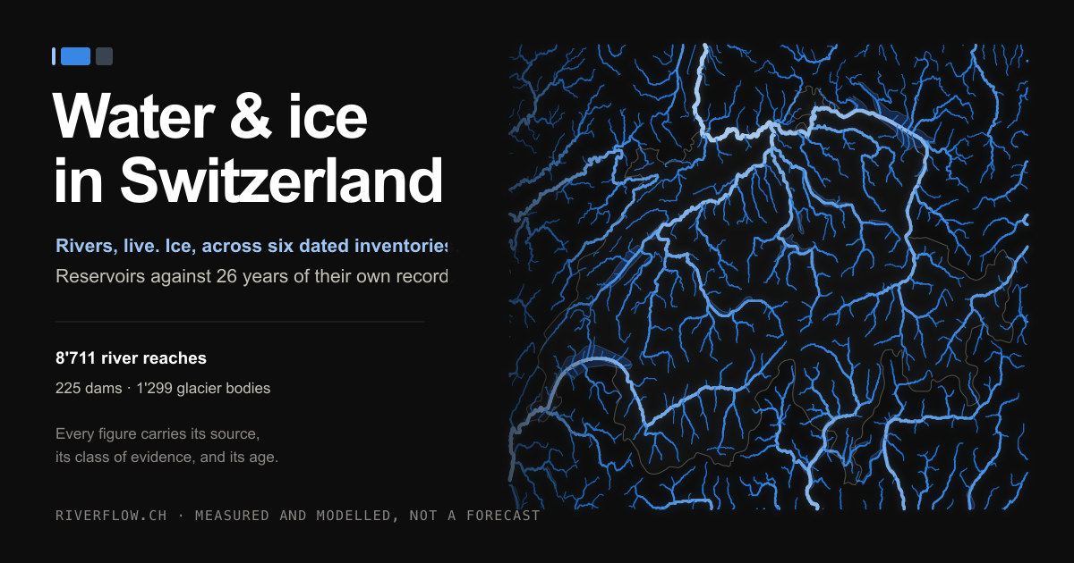
Riverflow shows Switzerland’s water cycle – from precipitation, snow, ice and springs through rivers, lakes, groundwater and wetlands to use. Measurements, provenance and legal foundations remain open to scrutiny.
The goal
The map now connects flow, temperature, quality, storage, glaciers, groundwater, wetlands and water use. Missing parts are named, not concealed.
Some stages are mapped now; others define the next data additions.
Measurements, inventories, sources and age become legible together.
Essential water pathways and wetlands become visible and verifiable.
Legal duties are tested against evidence – and protection pursued through law where necessary.
Open and collaborative
We invite scientists, legal professionals, public authorities, civil society and local experts. Contributions can include data, method review, legal analysis and code.